Historic Doheny Photos
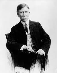
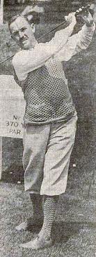
Oil tycoon Edward L. Doheny and son, Edward “Ned” Doheny Jr.
DOHENY BEFORE IT BELONGED TO THE DOHENY FAMILY
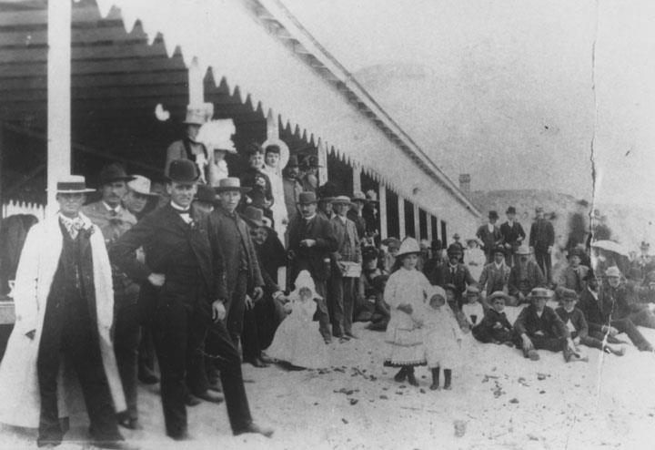 In 1887, the part of Dana Point now known as Capistrano Beach was being developed into what would be the unsuccessful village of San Juan by the Sea. The Santa Fe Rail Road added train tracks from their station in San Juan Capistrano down to the beach and brought in many perspective buyers to enjoy a day on the shore at the pavilion on what is now Doheny State Beach. The photo shows the pavilion which appears to be located near the current outfall of San Juan Creek.
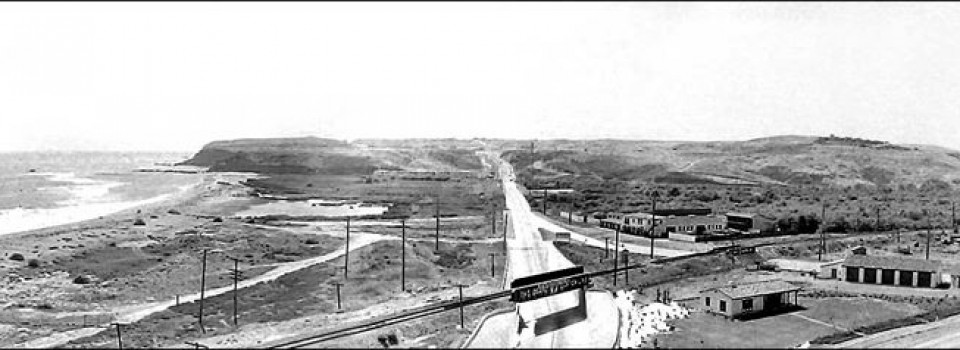
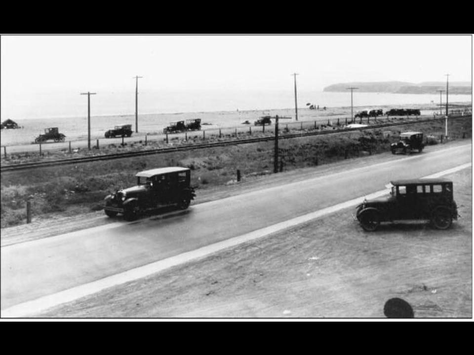
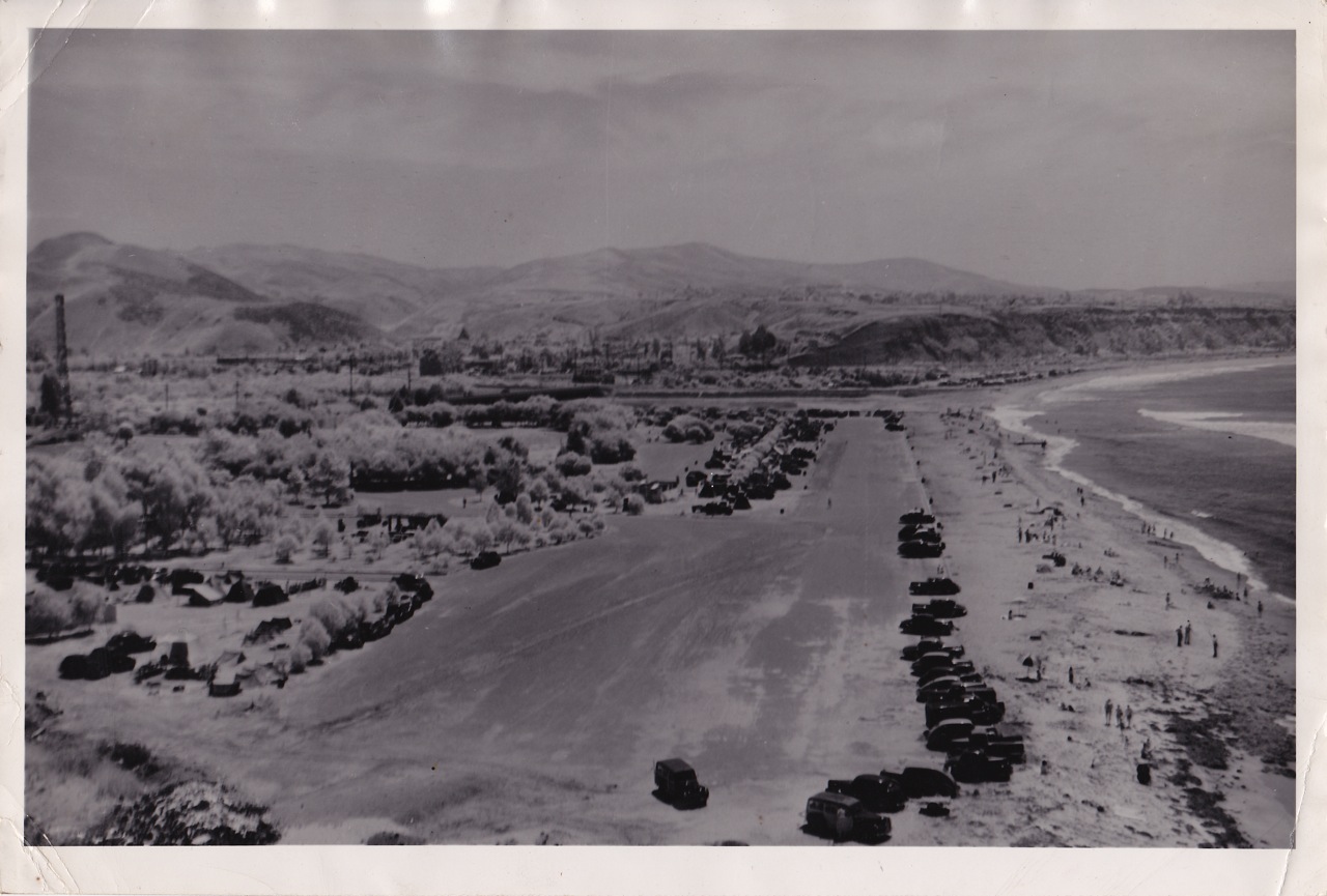
This photo, looking west up the Roosevelt Highway (today’s Pacific Coast Hwy.), was taken in the 1920s before there was a Doheny State Beach. Much of the land that makes up the park was donated to the State in May of 1931 for public use by oil tycoon Edward L. Doheny in memory of his son, “Ned”, killed in a tragic and mysterious shooting at his mansion in Beverly Hills. Additional land was donated or otherwise obtained from Santa Fe Railroad, the University of California Regents, and the Union Oil Company. Photo from “Sons and Daughters of Capistrano Valley,” Facebook.
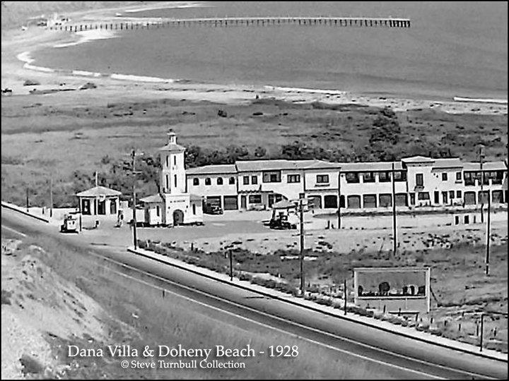
Looking southeast, across Roosevelt Highway (Pacific Coast Hwy.), the Dana Villa and the empty land that would become Doheny State Beach. The pier and the Capistrano Beach Clubhouse in the distance were built by Ned Doheny for his development of Capistrano Beach estates, a town he hoped would rival and surpass in prestige, the developing village of San Clemente to the south. These structures are now long gone, but great stories about them live on. The pier is where today’s South Day Use area ends and the county parking lot begins.
Below, looking southeast
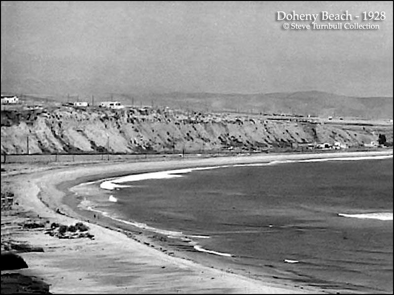
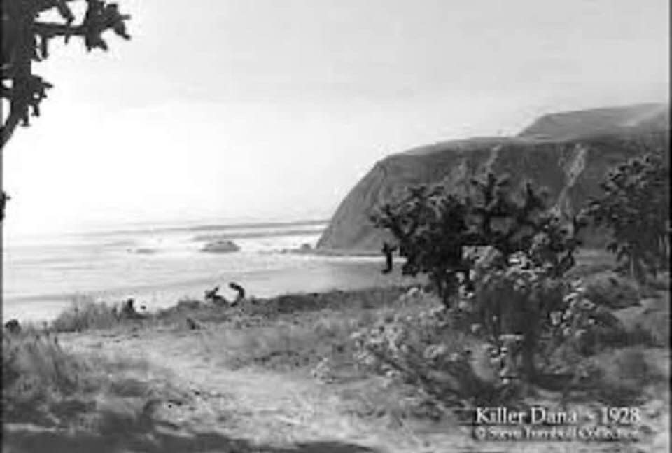
View towards Dana Point Headlands from Doheny in 1928.
Steve Turnbull Collection
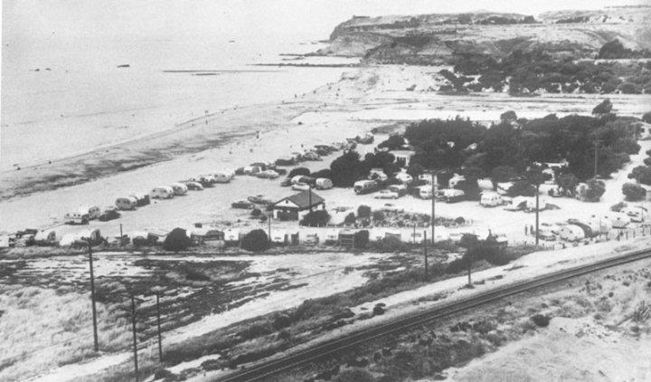
Looking at what would become the South Day Use area of Doheny, also known as “Hole in the Fence”. Photo from late 1920s or early 30s
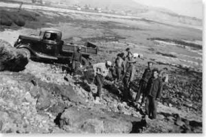
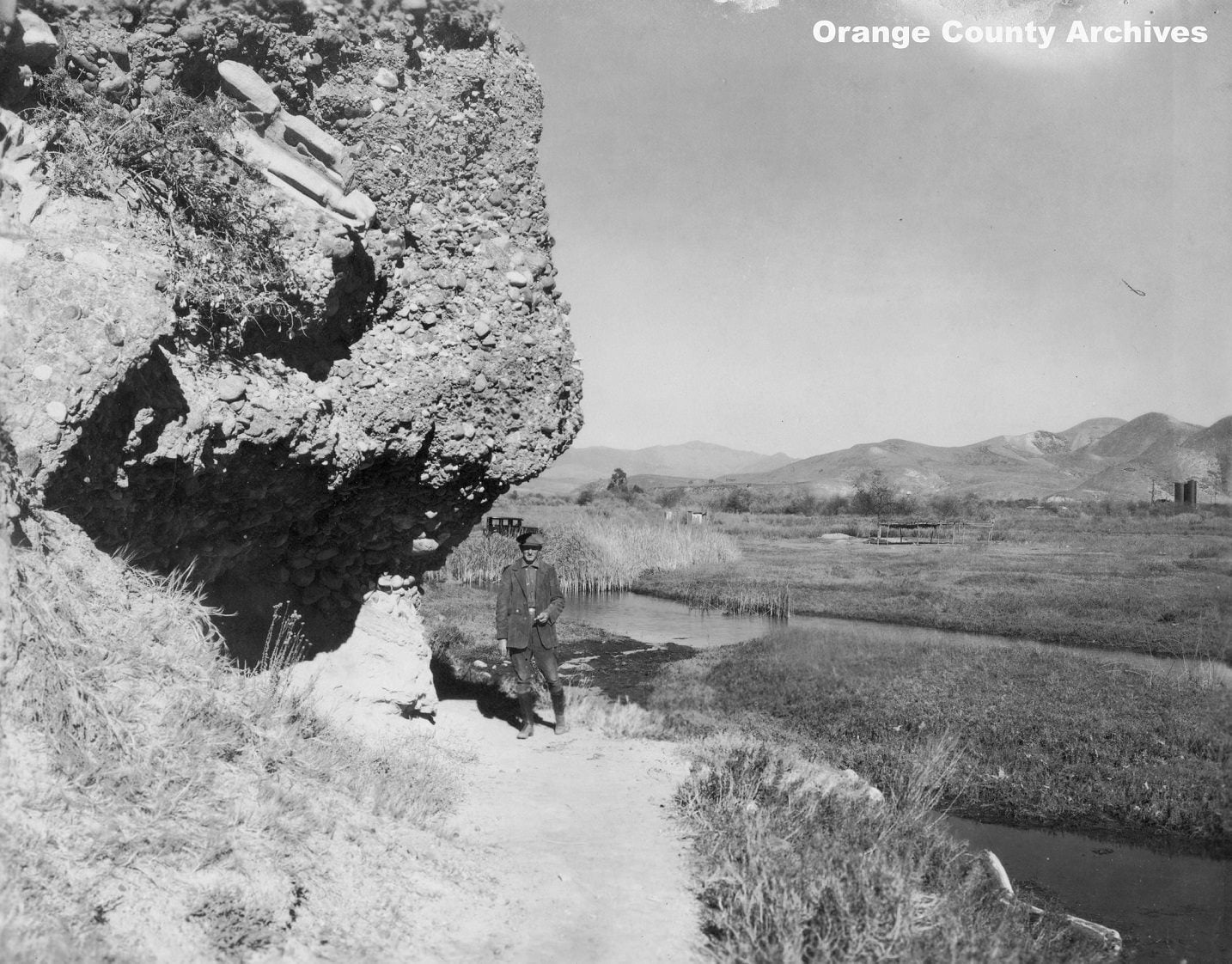 Don W. Leyde @ Dana Point Rock, surveying land for Doheny State Park!!!
**************************************************
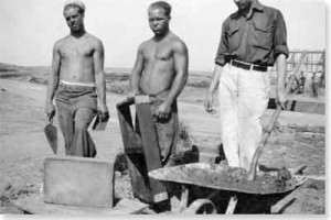
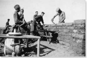
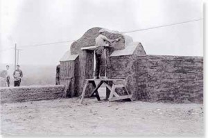
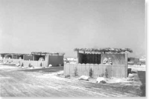
Doheny and San Cemente state beaches were build by the Civilian Conservation Corp. (CCC), a “New Deal” program under the Franklin Roosevelt administration. By 1940, CCC workers had constructed picnic areas, campgrounds, parking lots, and a custodian’s lodge at Doheny SB. Only one feature of the CCC work remains at the park today – a plastered and tiled adobe entryway and wall along Coast Highway (near the entrance to the camp ground).
Photos courtesy of the California State Parks.
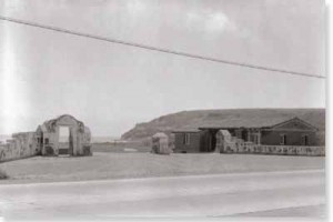
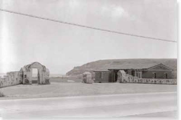 This 1936 photo shows the entrance into Doheny from the Roosevelt Highway. The arch still stands in the same location today near the entrance to the camp ground, but now, to its right, it is next to San Juan Creek as the outfall of the creek was rerouted (see photo below). The building would have been in what is now the middle of the creek.
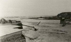 The Capistrano Beach flood in February and March of 1938 was part of a major El Niño that hit California that year. The bridge across San Juan Creek was blown out as well a much of the Doheny beach area. Notice the Doheny entry arch in the left of the photo.
“If you build it, they will come!”
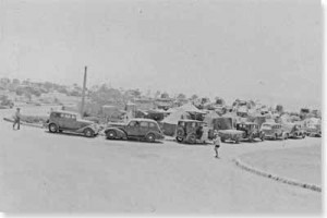
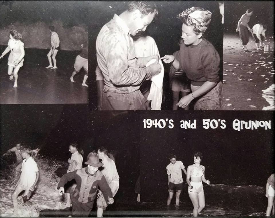
1940s and 1950s
 1953
1953
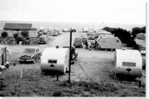
 1967
1967
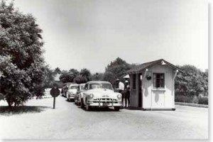
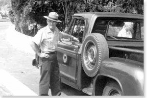 Ranger Carl Whitefield, 1967
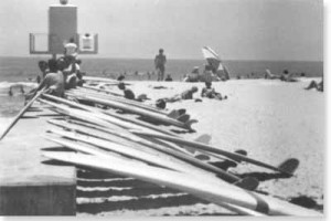
Above photo, circa 1940s, courtesy of the Jim Serpa Photography Collection. Panel truck at the bottom of photo belonged to legendary waterman “Pop” Proctor. For a biographical article about Pop, click here.
Above and below photos from “Sons and Daughters of Capistrano Valley,” Facebook
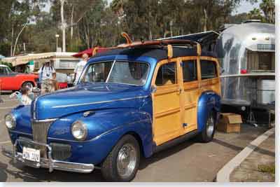
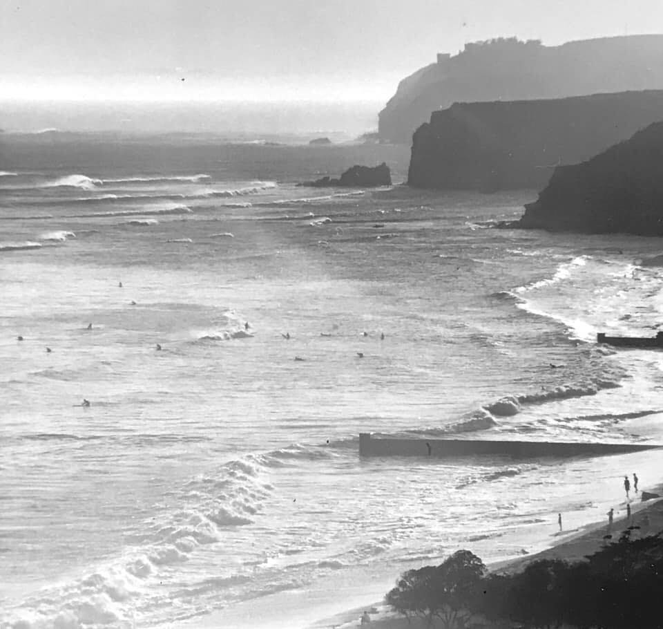
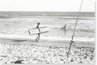
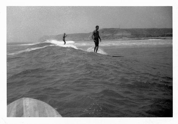
Surfing Doheny before Dana Point Harbor
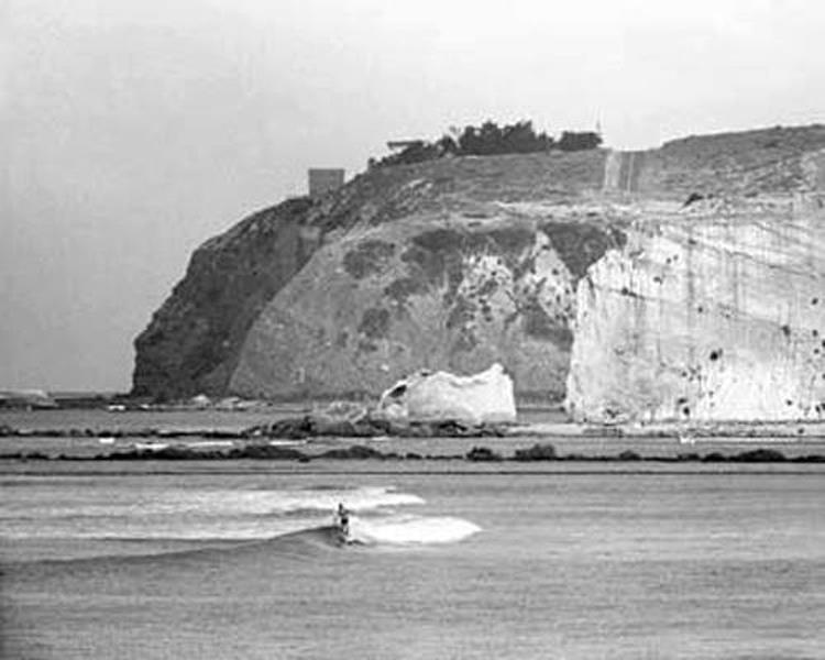
 Doheny to Dana Headlands. The first point on the right is where today’s jetty now comes out. The point was demolished to build the harbor. The second point is San Juan Point also called Princess Point (demolished) with an eroded mini rock stack that at one time was an arch. The third point in the distance is the Dana Point Headlands. Look how waves broke so much further out into what is now the boat harbor in front of old San Juan Point. The left break going around San Juan Point was known as Meepees. Photo by Ron Church.
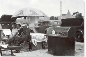
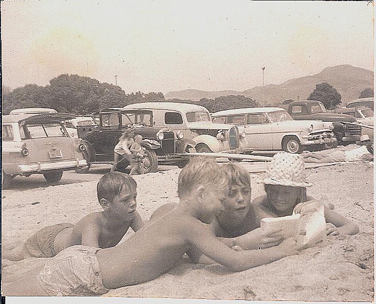
Photos below from 1940s, 1950s (Jim Gilloon Collection) and 1960s
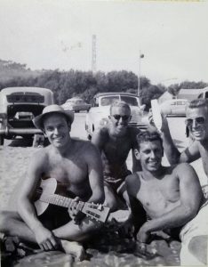
“HANG’N AT THE DOH WITH MY BEACH BUDDIES,” CIRCA 1950
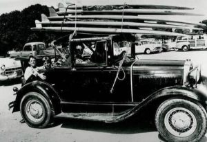 The Sizemore Family, 1950s
Lorrin Harrison Jr., Ron Sizemore, Marion Harrison (wearing the hat) and in back, Tracy Sizemore. Circa 1957.
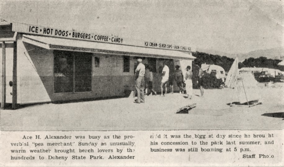
DOHO SNACK STAND, 1960s.
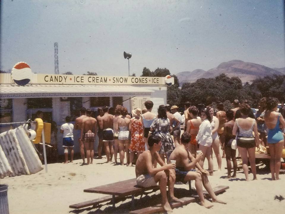
Nothing better than a greasy burger, fries, a root beer float and sand under your feet!
It was located at the northwest corner of the beach by the creek which now flows between the County parking lot and Doheny horseshoe pitch. Visible behind is the old Richfield Tower and Motorcycle Hill. Courtesy of the Jim Serpa Photography Collection
Doheny State Park Sticker, Pre 1962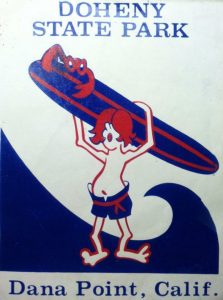 California State Department of Parks and Recreation changed Doheny State Park’s name to Doheny State Beach in 1962, making it the first state beach in the park system.
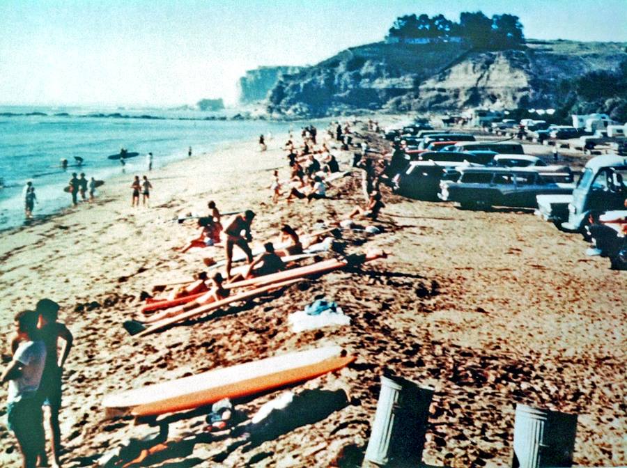
“Down at Doheny where the surfers all go…”
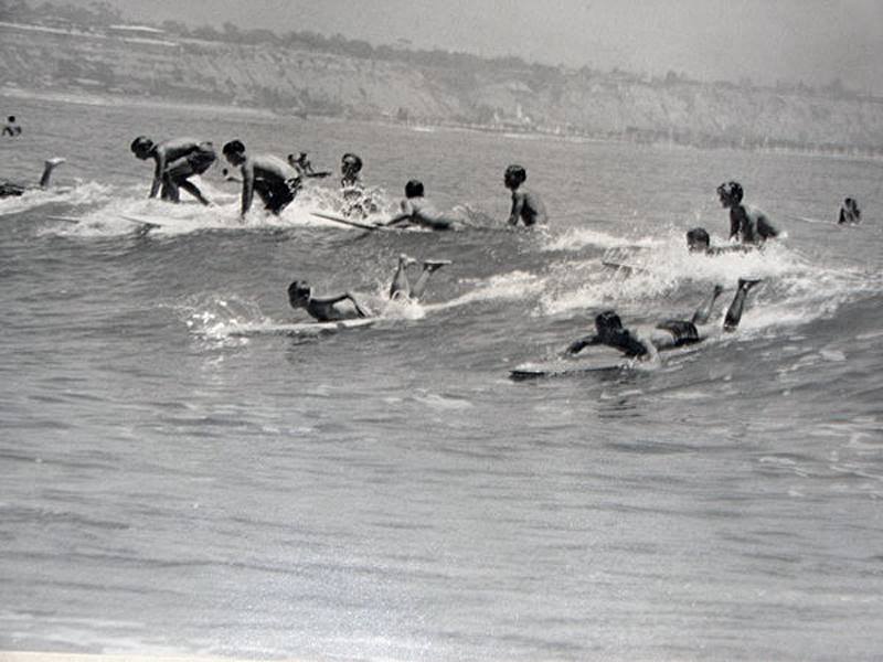 A 1963 photo by Gaylor Campbell shows what Doheny is most known for, surfing (and perhaps the crowd). In the background is the Capistrano Beach Club House, built by Ned Doheny.
1968-69 El Niño
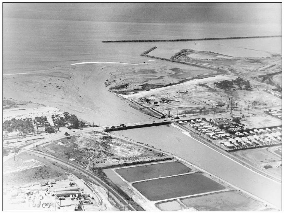
The 1968 – 69 El Niño winter rains were heavy causing a flood in Capistrano Beach, a blow out of the San Juan Creek entrance into the Pacific and damage to a refurbishing project of the North Day Use area which had been closed in Oct 1968. Many of the huge trees planted in the 1930’s were taken out and the last of the houses build by the Civilian Conservation Corp. were demolished. North Day Use opened back up on May 15, 1970. The restrooms and what is now the Bone Yard Café were built at that time.
 Doheny, 1969
CALIFORNIA’S ONLY PIRATE
[columns]
[one_third]

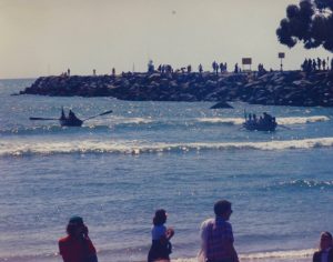
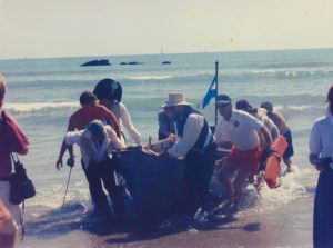
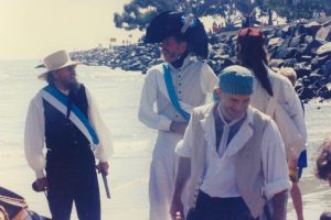

California had only one pirate who plowed the waters off the coast. Hippolyte Bouchard, a French privateer working for the “United Provinces of Rio de la Plata” (Argentina), raided the Spanish missions of Monterey, Santa Barbara and San Juan Capistrano in 1818. On December 16, 1818, the pirates raided San Juan Capistrano where they demanded supplies and ammunition. The Spanish defenders refused, so Bouchard landed a force and attacked the village. They quickly seized the town and after taking ammunition, supplies, and valuables, set fire to the town’s houses, but spared the mission.
In 1984, a group reenacted Bouchard’s and his band of buccaneers’ landing at Doheny, stealing bags of Adopt-A-Beach trash before heading out to raid San Juan Capistrano.
Did the real pirates land on the shores of Doheny? No, they rowed their longboats up San Juan Creek carrying cannon to raid the mission. Photos from the Jim Serpa Photography Collection
DOHENY ONCE WAS A PARK FULL OF EUCALYPTUS TREES
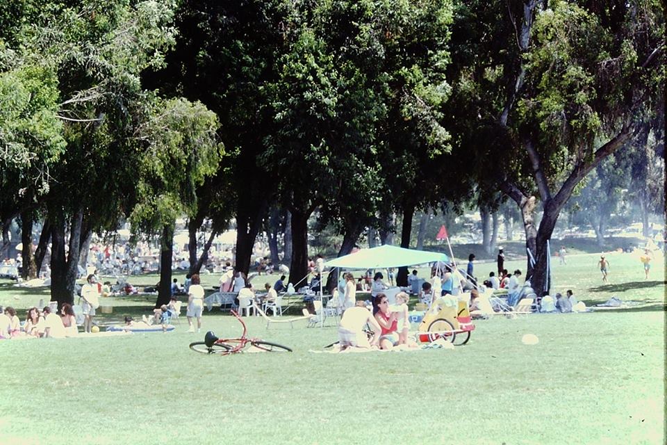 The park area of Doheny once had many eucalyptus trees providing shade and beauty. During the Monarch Butterfly migrations, their branches would hang low with the butterflies so thick one couldn’t see the green of the leaves. Unfortunately, most of the trees were removed because of disease or because they became safety hazards, and State Park regulations prevented the planting of new trees as eucalyptus are not a native to the southern California environment.
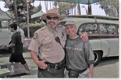
DOHENY’S 75TH ANNIVERSARY
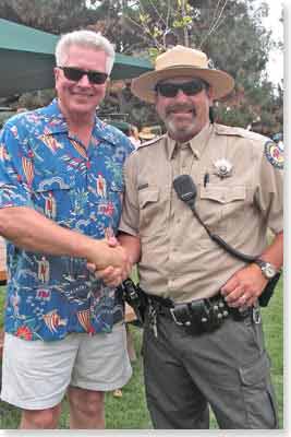
Click here to see Huell Hower’s visit to Doheny State Beach